Scope & research
We talk through your project, pull the recorded deeds, maps, and title records, and confirm what the work actually requires.

A licensed Bay Area survey practice covering boundary, topographic, and construction work — every project researched, measured, and carried through to a recorded map by the surveyor who signs it.
How we work
Every survey follows the same disciplined path — so you always know where your project stands and what comes next.
We talk through your project, pull the recorded deeds, maps, and title records, and confirm what the work actually requires.
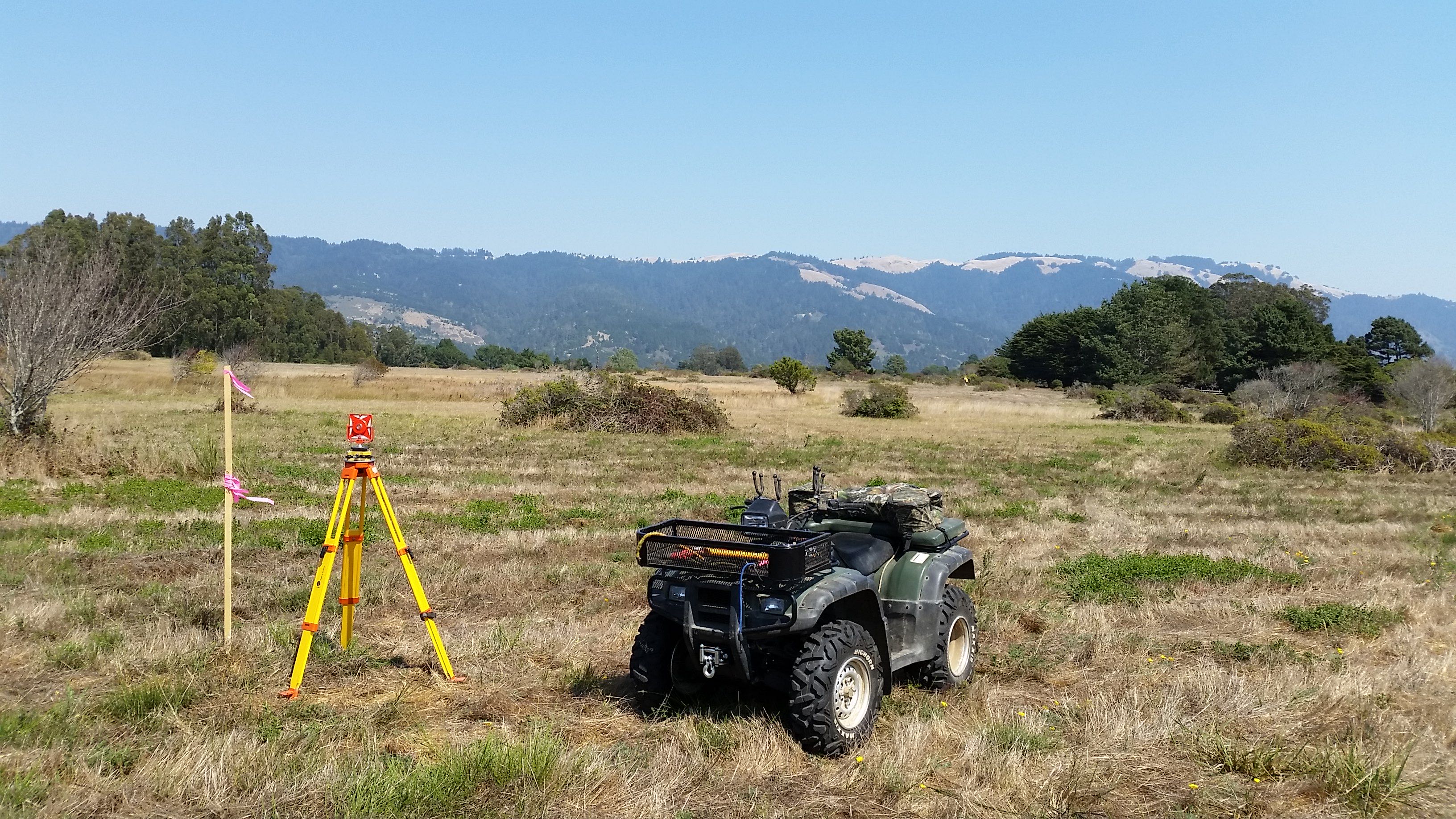
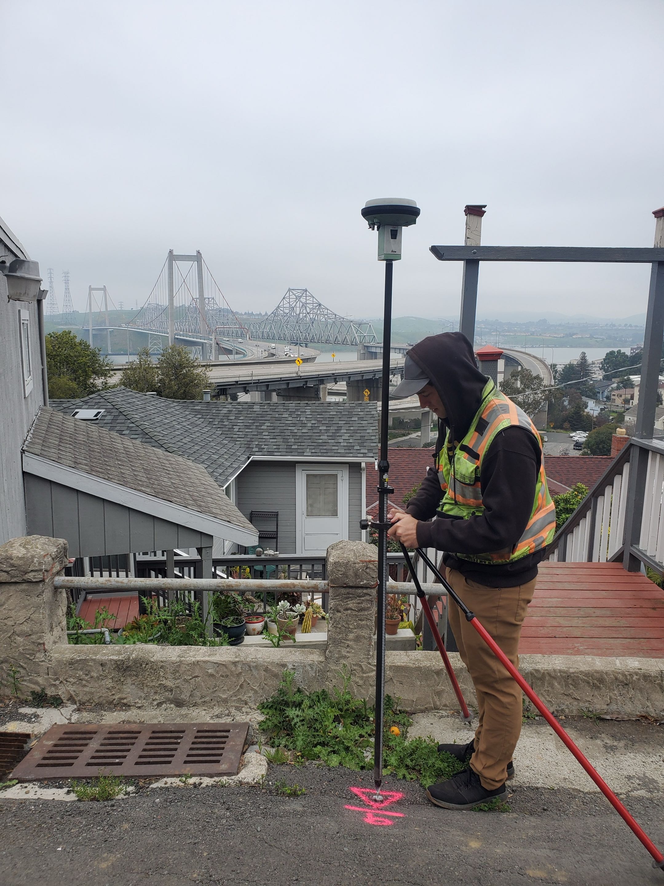
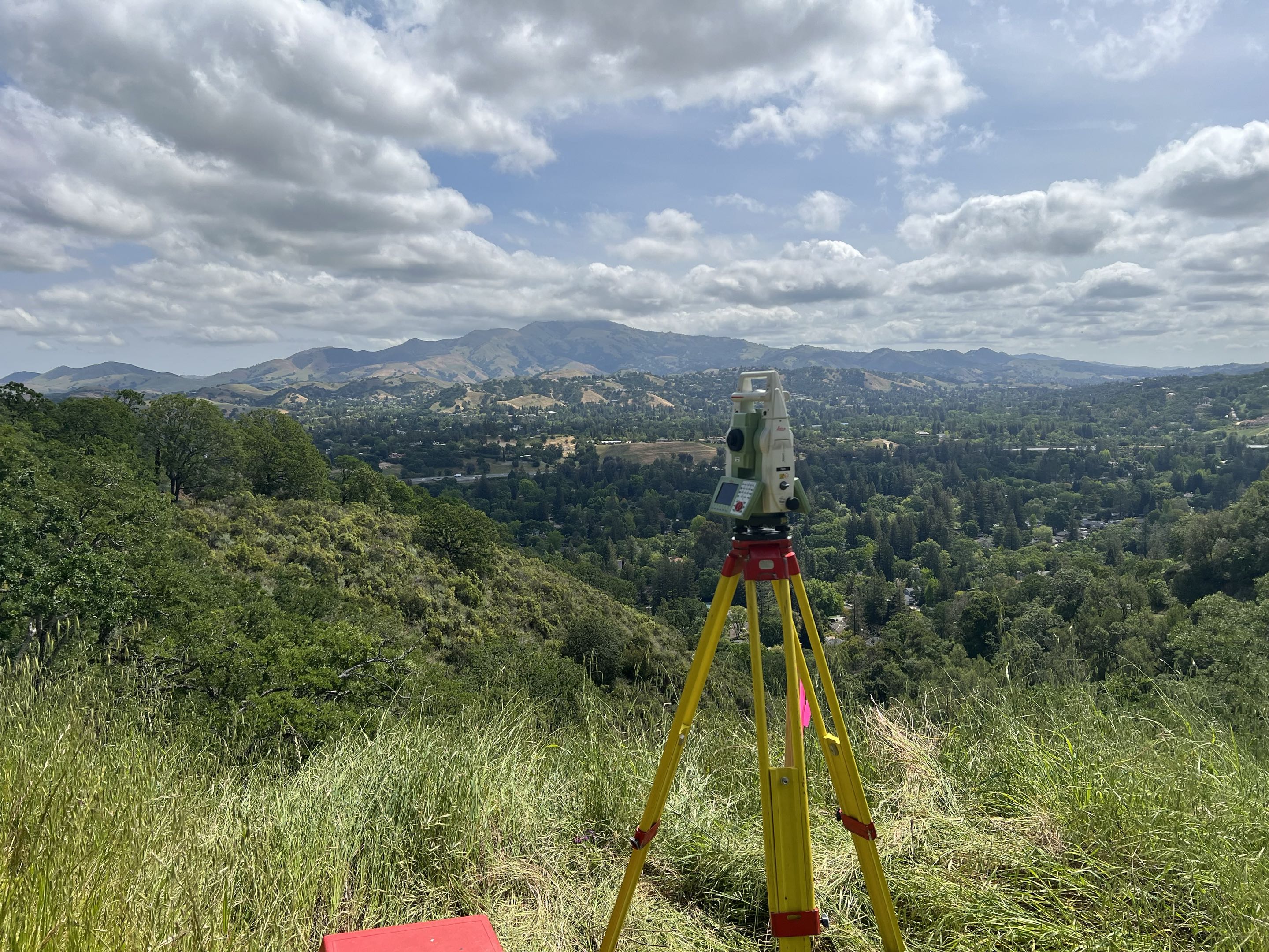
Existing monuments recovered, corners located, and site features captured with survey-grade equipment.
Field data reconciled against the record to produce a clear, defensible map or exhibit.
Documents stamped and, where the work calls for it, filed with the county so the results enter the public record.
What we do
Whatever stage your project is at, there's a survey that fits. Here's how the work breaks down.
Boundaries & rights
Site development
Land division
Certificates & guidance
About
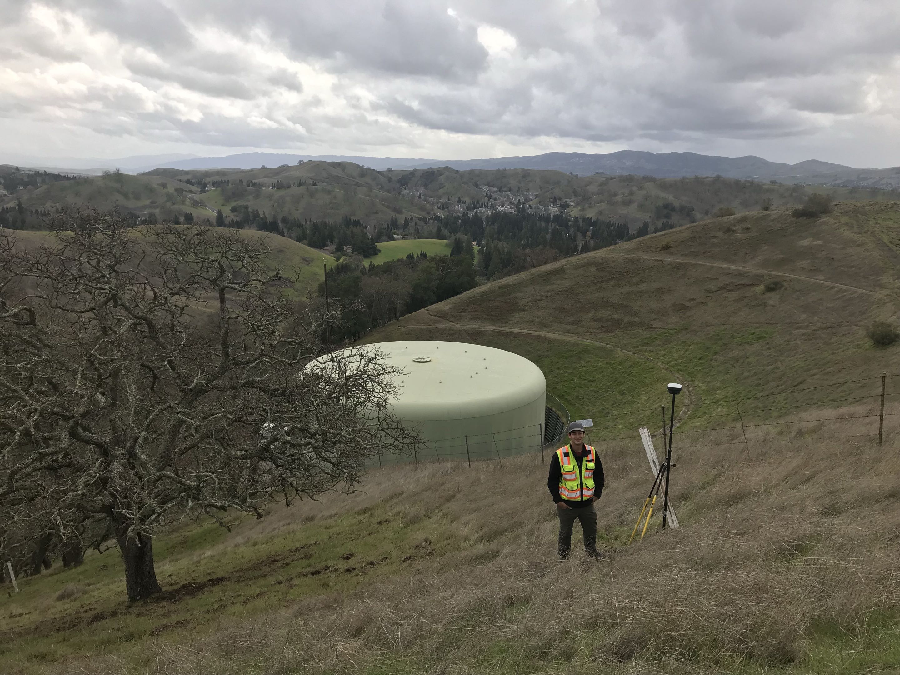
Headlands is a single-surveyor practice, which means the person who researches your title is the same one in the field and the same one who stamps the final map. Nothing is handed off to a rotating crew, and nothing gets lost between departments.
We work with Homeowners · Architects & Engineers · Contractors · Developers · Title & Legal Teams
About Headlands →